Earth Measurements Converter | Coordinates, DMS, UTM & Scale Calculators
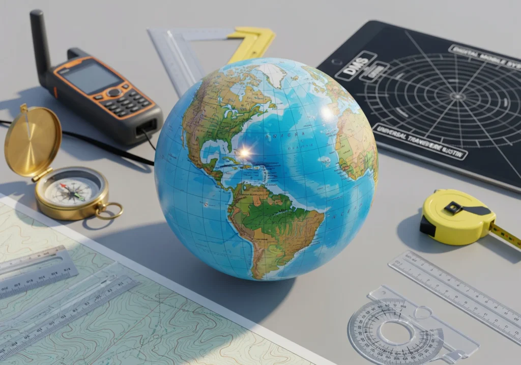
🌍 Earth Measurements Converter
Coordinates • DMS • UTM • Scale
Earth Measurements Converter – Coordinates, DMS, UTM & Map Scale Made Simple
If you’ve ever tried to read a map, plot a GPS point, or work with survey data, you know coordinates can look confusing. Sometimes they’re in Decimal Degrees (DD), sometimes in Degrees, Minutes, Seconds (DMS), and other times in UTM (Universal Transverse Mercator). On top of that, maps often have a scale you need to interpret.
The Earth Measurements Converter brings all these formats into one simple tool. It lets you convert between coordinate systems and scales instantly, without needing a geodesy degree.
Why Earth Measurement Conversion Matters
- Navigation: Pilots, sailors, and hikers often work with different coordinate formats.
- Surveying & Construction: Engineers and land surveyors rely on UTM for accuracy.
- GIS & Mapping: Software often requires a specific format like Decimal Degrees.
- Education: Geography and Earth science students frequently need quick conversions.
Being able to swap between formats ensures you’re always “speaking the right language,” no matter who you’re working with.
The Different Parameters Explained
1. DMS → Decimal Degrees (DD)
- DMS looks like: 41°24’12.2″N 2°10’26.5″E
- DD looks like: 41.4034, 2.1740
- Same location, different expression. DD is easier for computers, while DMS is common on paper maps.
2. UTM (Universal Transverse Mercator)
- Splits the Earth into 60 zones.
- Expresses locations in meters east (Easting) and north (Northing) from a reference point.
- Great for surveying and military use.
3. Scale Conversion
- Scale tells you the ratio of map distance to real-world distance.
- Example: 1:50,000 → 1 cm on the map = 50,000 cm (500 m) on Earth.
The Formulas Behind Conversion
-
DMS → Decimal Degrees
DD = Degrees + Minutes/60 + Seconds/3600
Add a negative sign for West (longitude) and South (latitude).
-
Decimal Degrees → DMS
Reverse the formula:
- Degrees = integer part.
- Minutes = decimal × 60.
- Seconds = leftover decimal × 60.
-
UTM → Latitude/Longitude
Uses mathematical projections of the Earth’s ellipsoid. Most converters handle this with geodetic formulas (complex but accurate).
-
Scale Conversion
Real Distance = Map Distance × Scale
How the Converter Works Step by Step
Example 1: Converting DMS to Decimal
Input: 40°44’55″N, 73°59’11″W
- Degrees = 40, Minutes = 44, Seconds = 55.
- Decimal = 40 + (44/60) + (55/3600) = 40.7486.
- Longitude is West → negative.
Result: (40.7486, -73.9864) → That’s Times Square, NYC.
Example 2: Decimal to UTM
Input: 40.7486, -73.9864
- Determine zone (New York = Zone 18T).
- Convert via projection formulas.
- Output: Easting ~ 585,000 m, Northing ~ 4,507,000 m.
Example 3: Scale
Map scale: 1:25,000.
Map distance: 4 cm.
Calculation: 4 × 25,000 = 100,000 cm = 1 km real distance.
❓ FAQs – Coordinate Conversion


Popular Calculators

Cooking Measurement Converter – Cups, Ounces, Milliliters, Grams & More

Hourly to Salary Converter – Calculate Annual Income

Corrected Calcium Calculator | Accurate Serum Calcium Interpretation

BUN to Creatinine Ratio Calculator | Assess Kidney Function
Fraction to Decimal Converter